
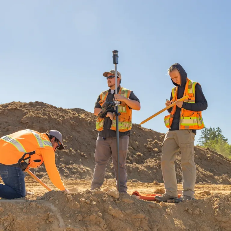
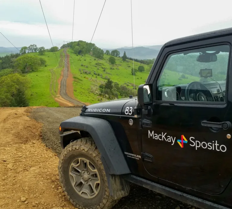
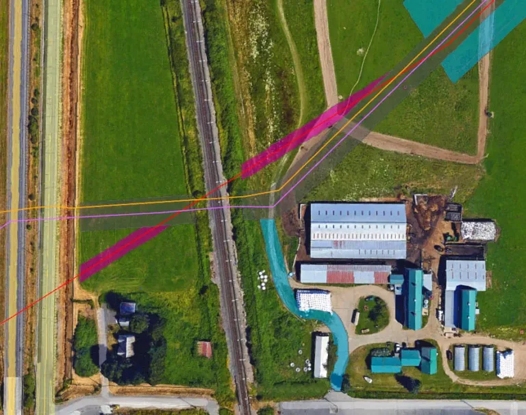
Land Surveying Mapping Success, One Survey at a Time.

Foundational to our firm, we have been providing land surveying services since our first project in 1974. With one of the most experienced private land surveying teams in the Western United States, we serve a variety of industries over a broad geographic range with both technical understanding and regional expertise.

Transmission lines on tall utility towers stretch through a lush, evergreen hillside in soft morning light.

Working concurrently, our field surveyors and office personnel work together to accurately map the topography and define the legal aspects of the land. Our unified team ensures you have a record that will withstand the tests of time and scrutiny. You can trust designs based on our maps.

No assignment is too complex, too remote, or too demanding for our team. Our service area includes Washington, Oregon, Idaho, Montana, Utah, and California, and our firm is one of the few in the country with the skills and security clearances to work for large public and private energy providers, port authorities, and Federal Aviation Administration (FAA) airports.

MacKay Sposito field crew surveying a construction site, with three workers in high-visibility vests—one kneeling to mark the ground, one holding a GPS survey rod, and one recording measurements—amid dirt mounds under a clear sky.

Our areas of Land Surveying expertise:

Yellow total station mounted on a transmission tower, overlooking high‑voltage power lines and glass insulators stretching across green fields.

Boundary

  • American Land Title Association (ALTA)
  • Boundary line adjustments
  • Cadastral surveying
  • Legal descriptions and exhibits
  • Monument preservation
  • Right-of-Way (ROW) and easement
  • Subdivision and platting
  • Transmission line corridors

Construction

  • As-built and utility documentation
  • Federal Aviation Administration (FAA)
  • Fish passages
  • GPS control
  • Precision construction staking
  • Route surveying for power, gas, and roads
  • Settlement monitoring

Mapping

  • As-built and utility documentation
  • Bathymetric
  • Federal Aviation Administration (FAA) and airports
  • Fish passages
  • Geodetic control
  • Route surveying for power, gas, and roads
  • Topographic
  • Unmanned Aerial System (UAS)